

We had an adventurous day Saturday in Brigham City, Utah. There were several things on our “must see” list, and we were going to try and accomplish them all.
The first stop was at the Bear River Migratory Bird Refuge. This is located just outside of Brigham City where the Bear River flows into the Great Salt Lake. The refuge protects the marshes that are located at the mouth of the Bear River, and provides a wonderful habitat for migrating birds from both the Pacific and Central Flyways of North America.

We stopped in at the Visitor’s Center to pick up brochures and information about the refuge. We also watched an excellent movie about the refuge. Then we headed out. There was a 12 mile auto tour of the refuge, but to GET there, we had to drive about 7-8 miles, all on gravel roads.

The trip was well worth it. Although there weren’t a lot of birds yet, we saw American Avocets


Clark’s Grebe

Yellow-headed blackbird

Tons and tons of American Coots. These ducks are hysterical. When they take off, or get scared, they literally run across the water before they take off flying.

American White Pelican

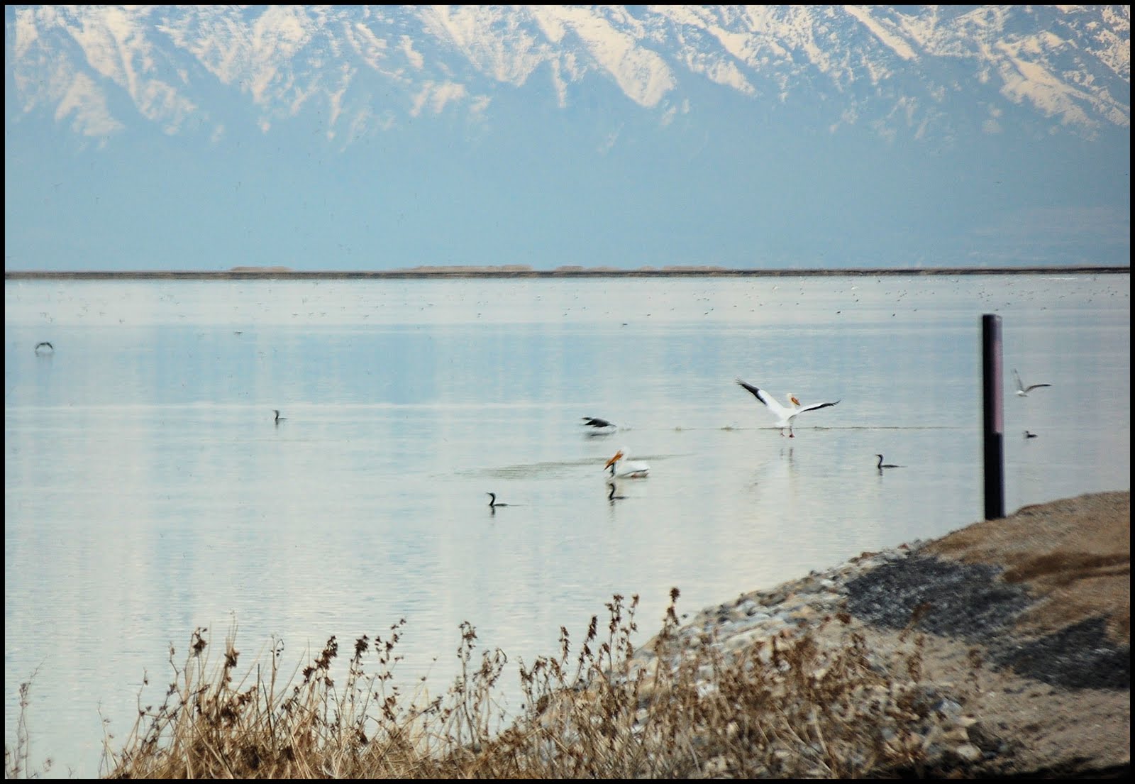
Sandhill Cranes

And we even saw a skunk crawling alongside the road, but he ducked into his den before I was able to get a picture.
The marshes were beautiful, and even though it was a cloudy day, the sun peeked out every once in awhile.


There were an awful lot of bugs around. Jim called them "midges". I just called them a nuisance.

Bear River

We spent a much longer time at the refuge than we had planned. We also didn’t plan to drive 10 mph on a gravel road! Jim wanted to go to the Golden Spike Museum where supposedly the East met the West and the famous “golden spike” was nailed into the rail for the trains to connect across the United States. (There’s some controversy as to where the real site is at.) Anyway, we raced to the museum, only to get there 5 minutes before they closed. So that was a bust. BUT, also on the list was this thing called the “spiral jetty.”
Robert Smithson, a sculptor, took black basalt rocks and lined them up from the shore of the Great Salt Lake, and then formed a coil. This “spiral jetty” can only be seen if Salt Lake is low; otherwise it is under water.

Photo courtesy of www.treehugger.com
There were supposed to be signs showing the way to this sculpture. Well, we saw the first one right past the museum. Then we saw a second one, and then that was it. The directions on RoadsideAmerica.com said the road starts out gravel and then turns into just a dirt road. At one point we came to a fork in the road. We did not see any sign saying “spiral jetty THIS WAY”. We stayed to the right; the road to the left said, “Promontory Ranch”. We followed this road to the left, to the right, up hills, down hills, through cow pastures. Signs were posted that it was personal property on BOTH sides of the road, but I guess it was okay to DRIVE on the road. Again, we didn’t see any signs for the “spiral jetty”, but we continued driving. Oh, and did I mention that it was an “Open Range”? This means that cows can wander wherever the heck they want to go. This means that if you’re not careful? BEEF. IT’S WHAT FOR DINNER! We had to stop at LEAST three times for cows to saunter off the road.

I remember reading that a one point we’d either have to have a 4-wheel drive vehicle or we’d have to walk a little bit. Well, Jim just kept on truckin’. Sometimes the road would go down, but the sides inclined up. This seemed to be a great place for tumbleweeds to collect. I mean, collect like up to 3 FEET deep.

Jim just plowed through them with Big Blue. They exploded into the air!
It was fun, but this is the result of it! Look at all the scratches on the truck. Jim thinks most of them will come off with a good wash. I hope so!

I was starting to get nervous. We kept driving, and driving, and driving. By now I was wondering if I even wanted to see this stupid jetty, you know? But I felt Jim wanted to make a point. We got this far, right? We drove until the road ended. We had to turn left or right. We couldn’t even see the lake anymore. What the heck? Jim turned left and continued driving. We were in NO MAN’S LAND.

I said, “You’d better turn around. I don’t think we’ll ever get out of here. No one will find us!”
So Jim turned the truck around, and we headed up the road the other way. We didn’t go back on that other road, thankfully, but stayed on the second road which actually lead us back to where we needed to go. Soon we were back on the highway. I was discouraged because after all that and I didn’t get to see the spiral jetty.
Here is a short video of the spiral jetty.
It was still light out, so I instructed Jim to do some drive-by’s so I could take pictures of some buildings in town.
This first one is of the old Brigham City Train Depot, which was built in 1906 by the Oregon Short Line railroad. It is now a museum.

This is the Box Elder County Courthouse and was built in 1855 as the first public building in the area. It reminded me of the building they used in Back to the Future.

This is the Box Elder Tabernacle. The site was chose by Brigham Young, himself. Construction began in May of 1865 and wasn't completed until 1889 due to men working on the local railroad. In 1896 a fire began in the furnace room, and within an hour only the charred stone walls were left standing. But this time, the rebuilding of the tabernacle only took one year.

After all the sightseeing and picture taking, it was a long day and I was not in the mood to come home and cook. We stopped by a little restaurant in town and had dinner. I ordered some fried chicken. When our young waitress brought my dinner, she plopped down this bottle of light pink stuff in it and walked away. Hmm? What could it be? I squeezed a little on my plate and tasted it, and it tasted like, well, nothing, actually. How could that be?
When the waitress came back to our table, I asked her, “What is this?”
“That? Why that’s Fry Sauce!”
“What is in it?” I asked.
“Mayonnaise and ketchup.”
“What do you do with it?” I asked, still puzzled.
“You all must not be from around here. It’s for your French fries or tater tots. It must be a Utah thing.”
So there you have it.
Oh. She was cute. She said that she was sick of the weather being “bipolar” - “One day it’s warm and I can wear shorts and the next day it’s cold and I have to dress up and wear long sleeves and pants.”
The things you learn in a small town.
Bipolar weather.
Fry sauce.(I looked it up. It's even in Wikipedia! "Fry sauce is a regional condiment served with French fries. It is usually a simple combination of one part ketchup and two parts mayonnaise. In the United States, Fry sauce is commonly found in restaurants in Utah, as well as available by mail-order." WHO KNEW?)

Photo courtesy of Wikipedia
And by the way? We found out later when we got back home that we should have taken the left in that fork in the road to get to the spiral jetty. THEN we would have found it. Darn it!


